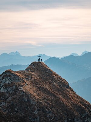
Plessenberg (Pleassinger)
A walk for challenge seekers to Breitenbach's nearest mountain
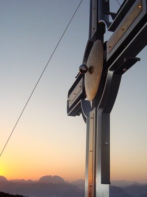
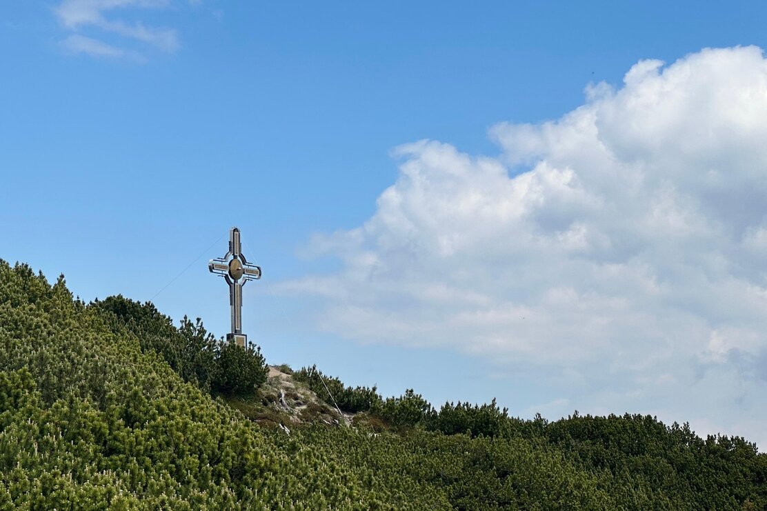
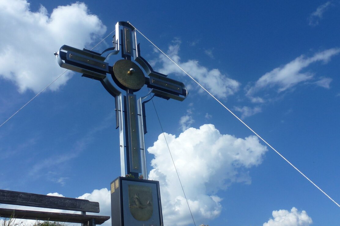
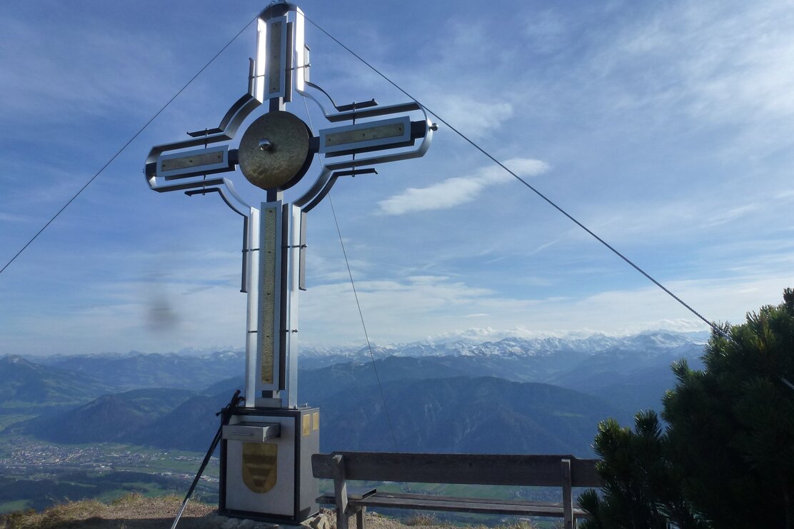
Turn left shortly before the tennis courts/Gasthof Kaiserblick and follow the steep trail to the "Ruhreralm" "Plessenberg". Continue along the trail to a stream and turn left following the path to the Ascherkreuz at 1.458 m.
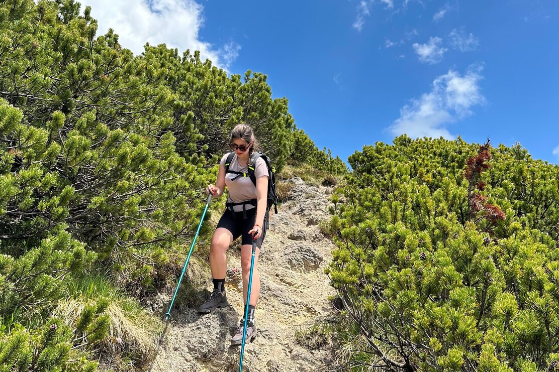
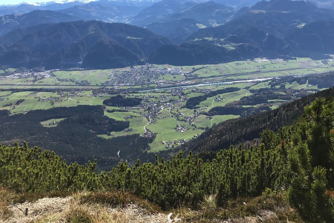
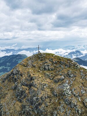
Following a break, continue in a westerly direction to the beginning of the Plessenberg trail. Initially the route leads through mountain pine covered terrain, but soon after through steep and rocky ground. Please note: in parts you will be climbing up iron steps and along a rope secured trail.
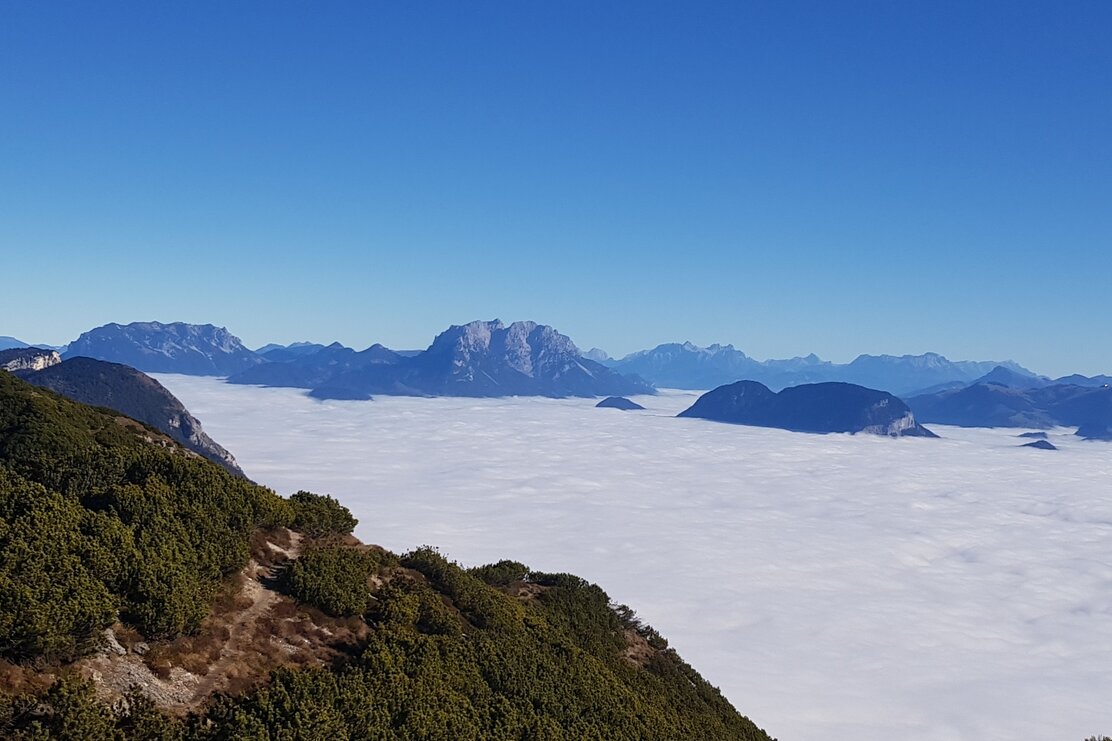
Take in the spectacular panorama. On clear days you can see the Großglockner (Austria's highest peak) and the Großvenediger.
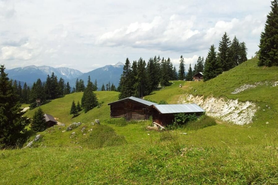
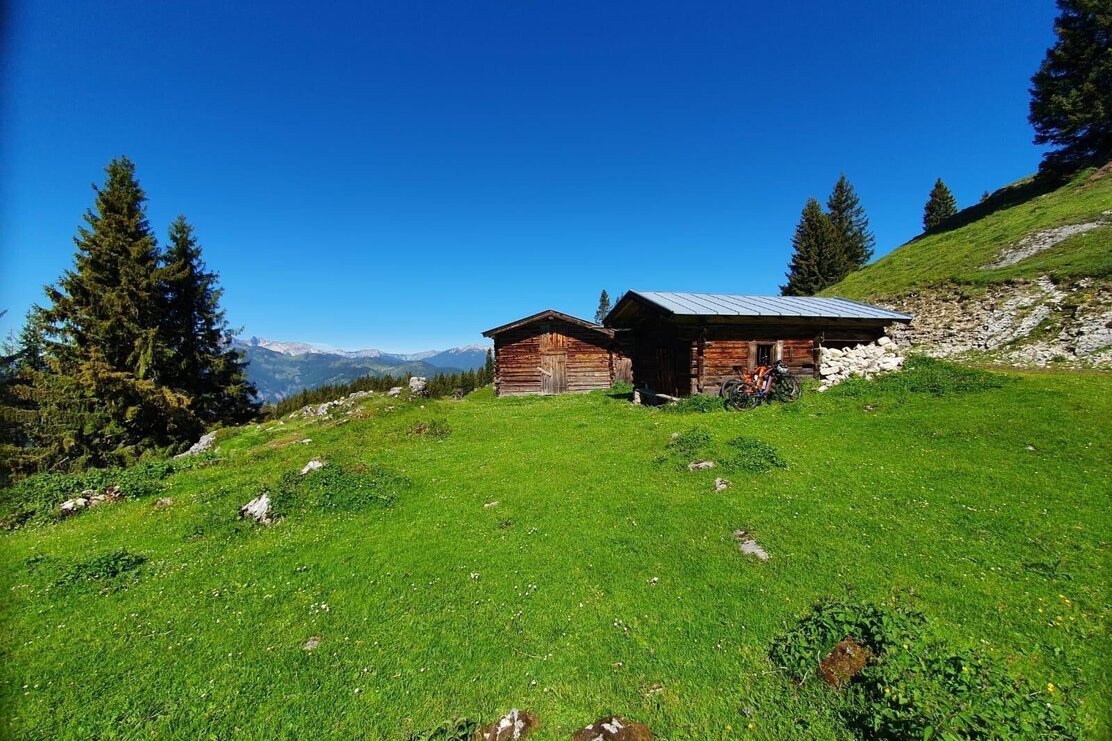
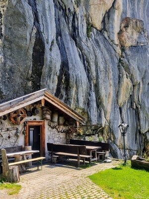
For the hike back walk in a westerly direction gently downhill to the Heuberg Saddle. Continue along a short exposed stretch to Heuberg and through Alpine pastures to the Jocheralm.
Follow the signs below the Jocheralm for "Alter Steig" and keep on the downhill trail to the "Pumphaus" car park.
Please observe signs for "Breitenbach"!
The trail leads steadily downhill to the Jocher chapel and to Ramsau. As soon as you reach the tarmacked road turn left and stay on the road to the "First" curve. Continue along the no. 5 hiking path to the Gasthof Kaiserblick.
Details
| Max. Altitude | 1748 |
| Start | Breitenbach/Schönau |
| End | Breitenbach/Schönau |
| Public access | A12 motorway, exit Wörgl West, towards Kundl, to Breitenbach A12 motorway, exit Kramsach, towards Kramsach, lakes, Breitenbach follow the road through Breitenbach to Schönau to the Gasthof Kaiserblick |
| Public transport | www.vvt.at
Bus 621 to Breitenbach Bus 760 to Schönau, Breitenbach |
| Parking | Gasthof Kaiserblick |
| Equipment | Please note; the trail to the Plessenberg and the climb up to the Heuberg have some exposed sections - sure-footedness is a prerequisite! We advise doing the hike as suggested. Walking downhill from the Plessenberg can be dangerous due to the scree slope! Sturdy shoes, protective clothing, sufficient food and water, drinks |
