Walking and hiking tours
Difficulty: medium
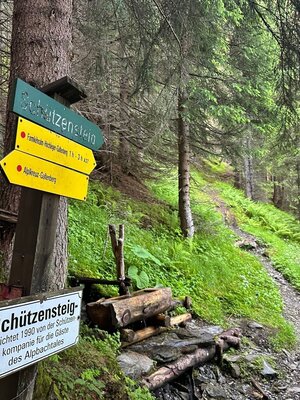
Farmkehralm via the Schützensteig
Hiking up the picturesque Greiter Valley along the Schützensteig
Length
12.87 km
Duration
5:30 h
Altitude
780 hm
780 hm
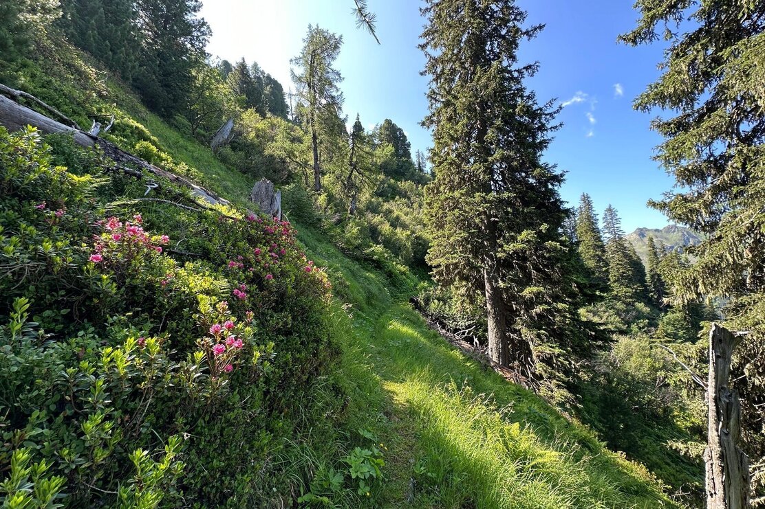
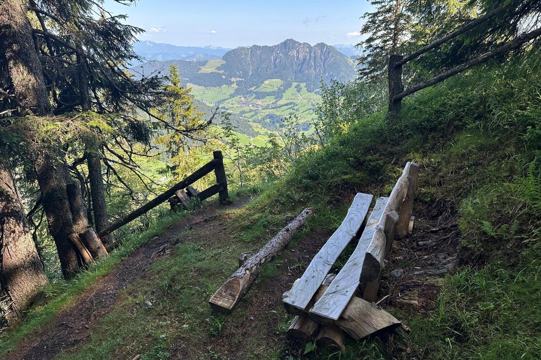
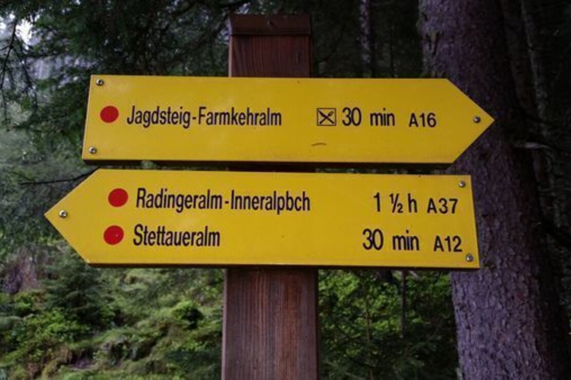
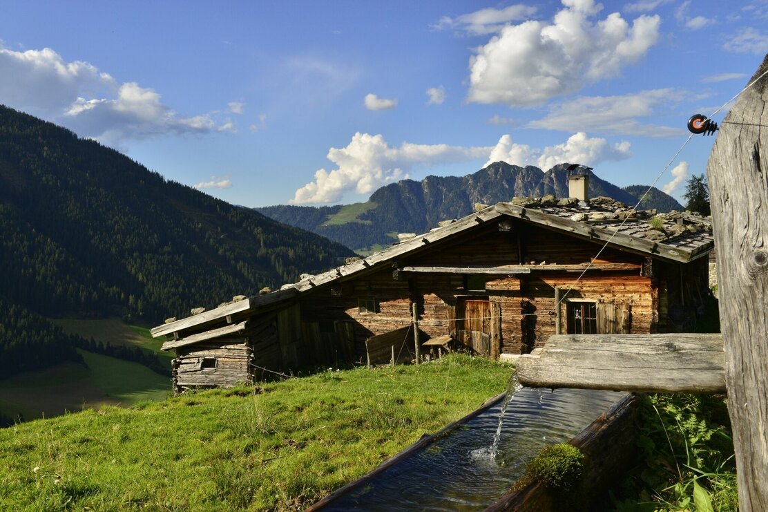
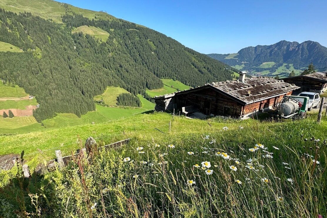
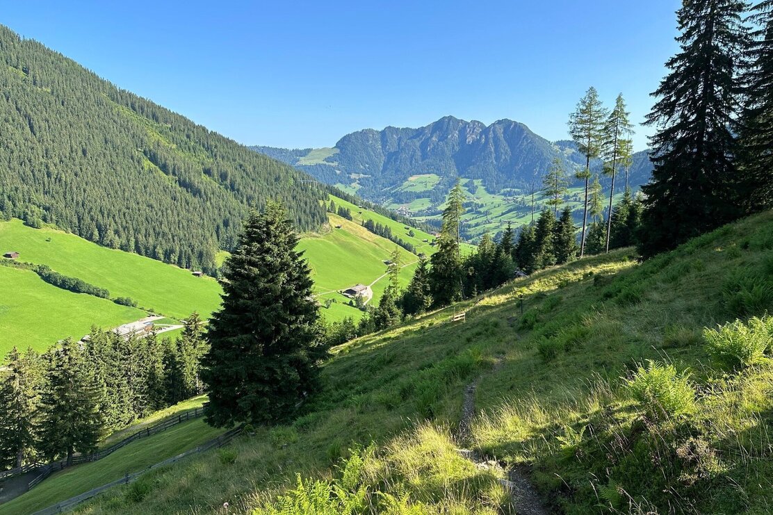
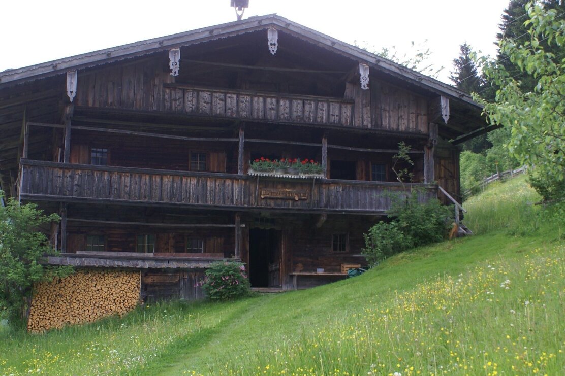
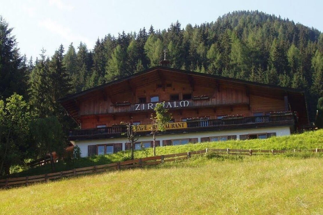
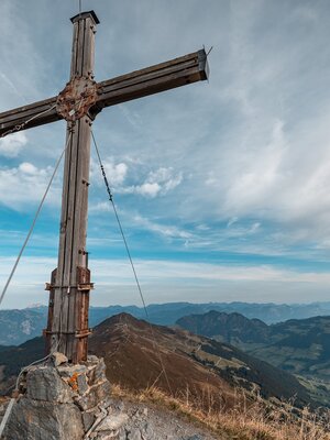
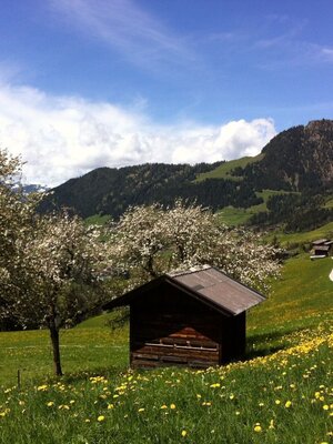
Start in Inneralpbach from the Galtenberg Resort and walk up the road to the Farmhouse Museum passing the museum to its right and follow the A37 uphill path / forestry road and follow the signs for "Alplkreuz". After approx. 1 h 30 min. you reach the Alplkreuz (a small hut). Bear to the right of the hut and walk towards the "Farmkehralm". Walk straight ahead downhill to the Stettauer huts and to the Farmkehr Hochleger. The hike takes you along a straight, gently undulating path past majestic old pine trees. After approx. 20 minutes walking downhill you reach the Farmkehralm. The route back to Inneralpbach leads from behind the Farmkehralm via the Jagdsteig back to the starting point.
Round trip
Rest stop
Start in the valley
Details
| Max. Altitude | 1788 |
| Start | Inneralpbach |
| End | Inneralpbach |
| Public access | A12, motorway exit Kramsach/Brixlegg, towards Brixlegg, Alpbachtal to Inneralpbach |
| Public transport | www.vvt.at
Bus no. 620 |
| Parking | Inneralpbach public car park |
| Equipment | When wet, the path leading downhill from the Stettauer huts can be slippery, please be careful. There are no exposed stretches along this tour. Sturdy shoes and protective clothing |

Tips for you
Good to know
There's more!
