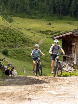
Bike and Hike Rofanspitze
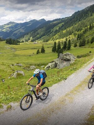
Bike tour to the Bayreuther Hütte including 3-peak hike to the Vordere Sonnwendjoch, Sagzahn and Rofanspitze. Return via the Marchgatterl, the Zireiner Alm and the Bergalm.
Bike:
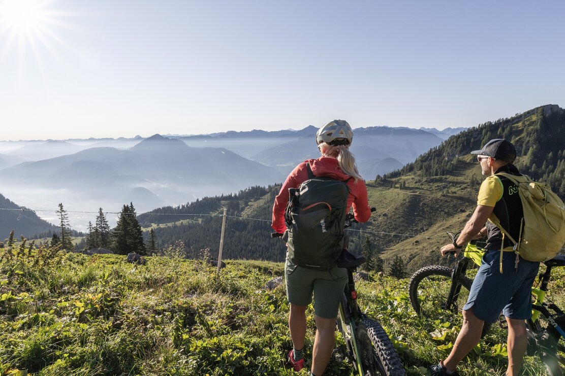
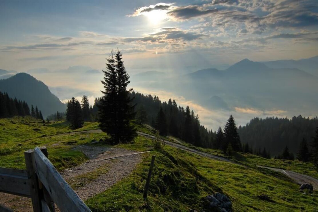
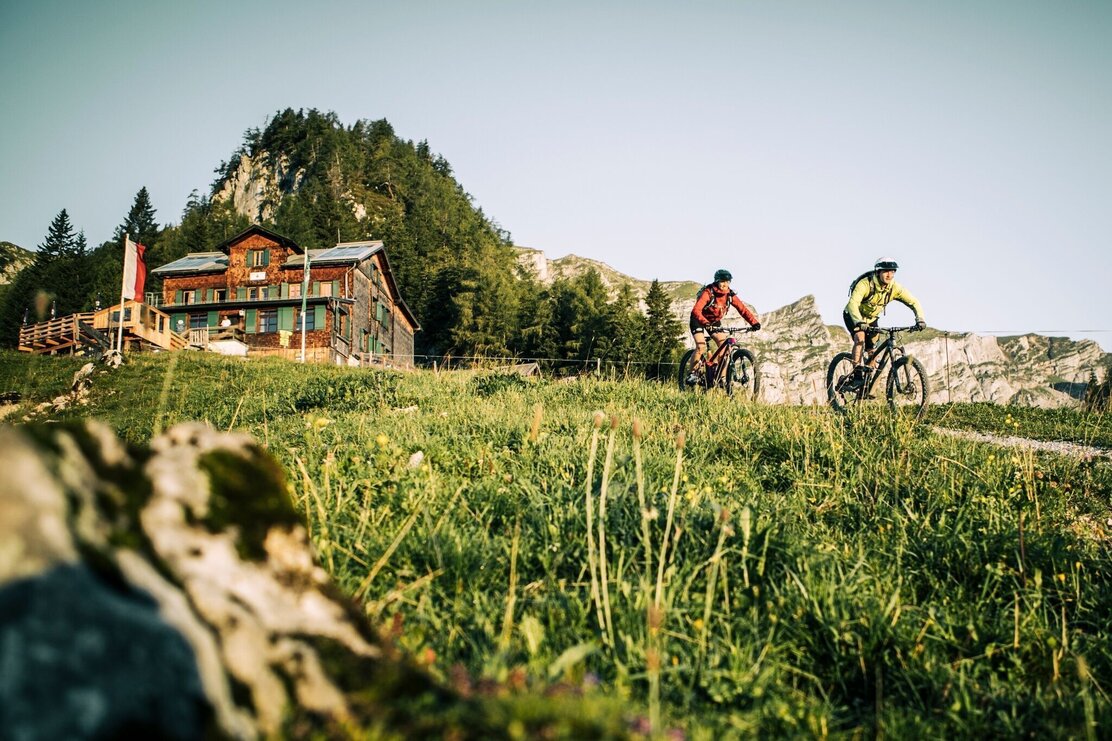
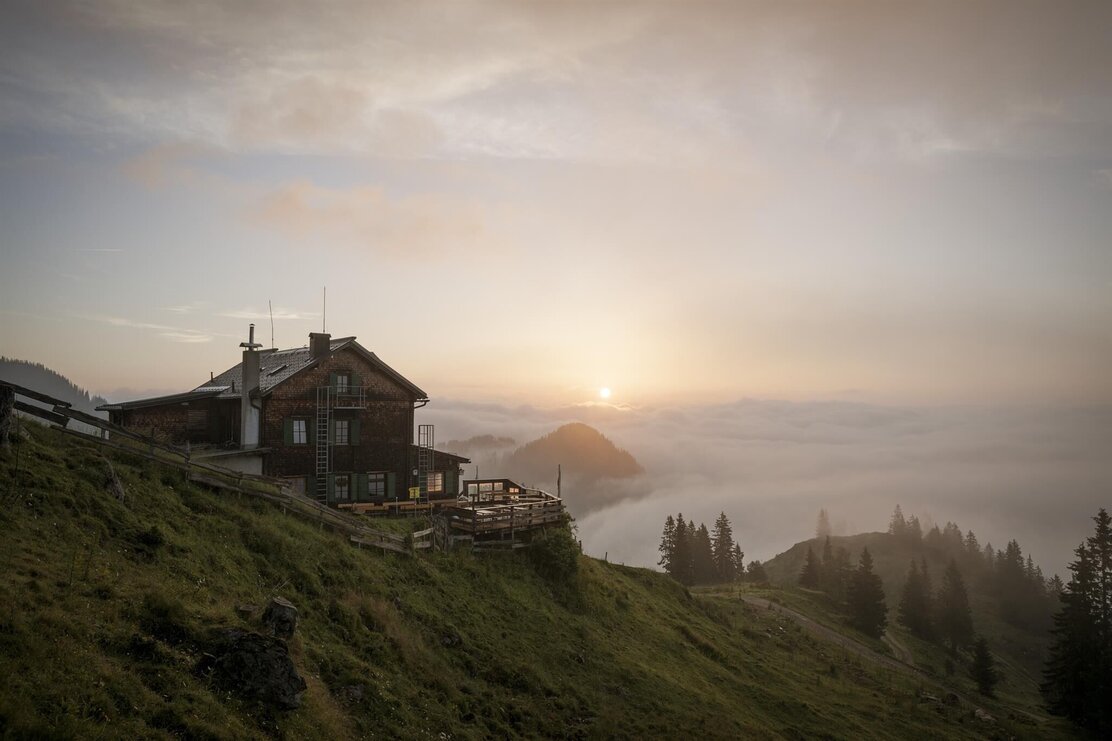
The relatively steep forest track leads to the scenic Alpine pastures to the south of the Rofan Range to the Bayreuther Hütte. The views from above the treeline are magnificent (1600m).
Hike:
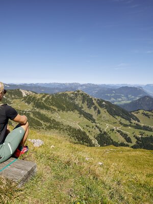
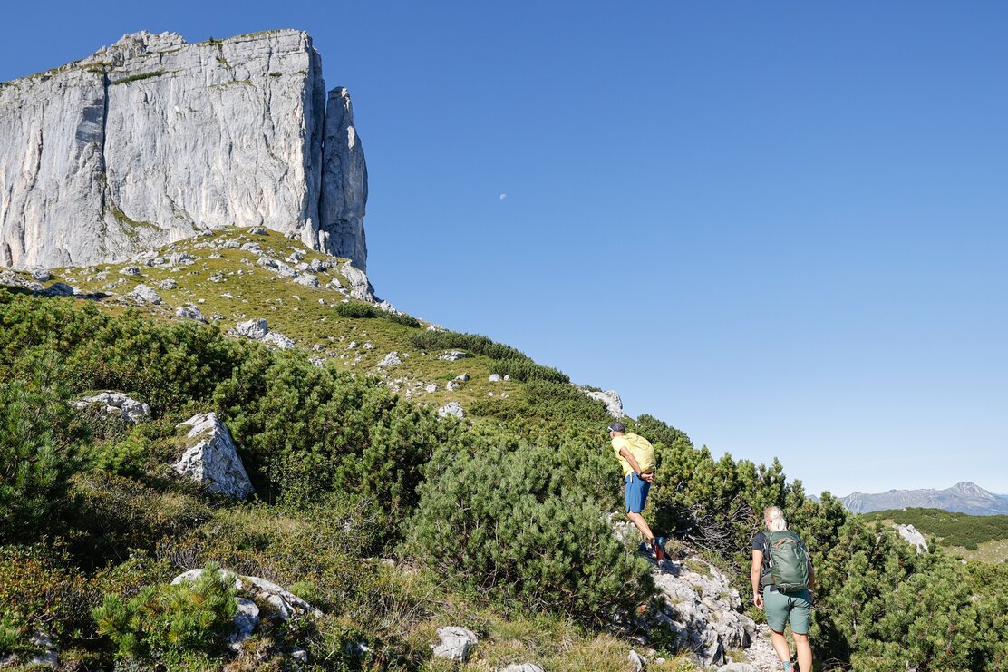
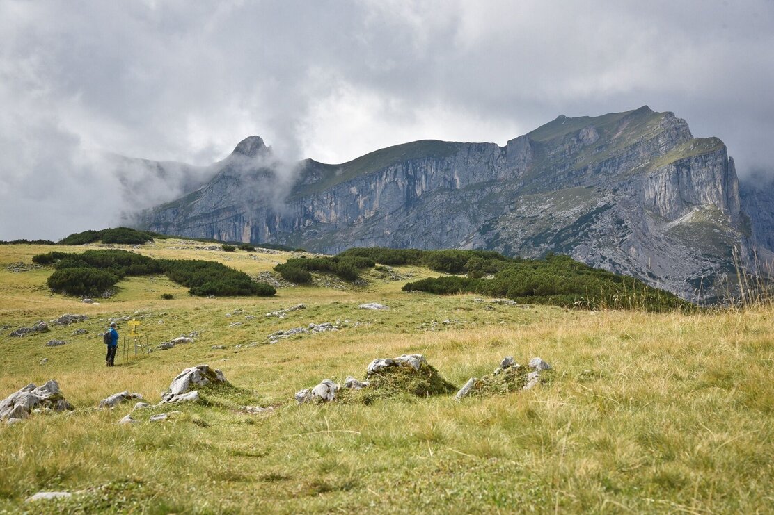
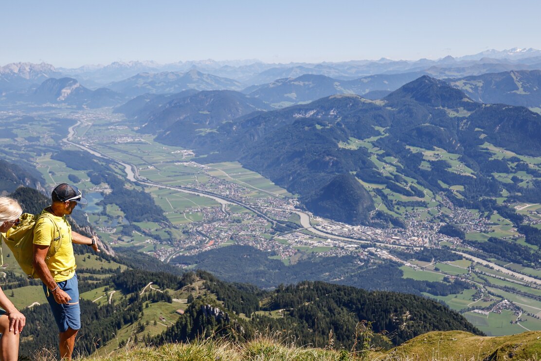
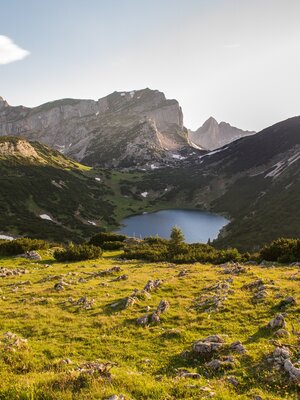
Behind the Bayreuther Hütte, follow the signs for "Sonnwendjoch / Sagzahn" and continue through the Alpine pastures surrounding the Berger Kopf to the beautiful Vorderes Sonnwendjoch peak cross (2224m). Continue on to the striking Sagzahn peak (2228m). From there, descend directly via an exposed but well-secured little path with easy climbing sections through the steep western flank and then slightly uphill until just before the Schafsteig Saddle. Continue through the grassy slopes diagonally up hill to the Rofanspitze (2259m).
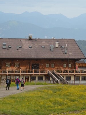
Descend via the Schafsteig Saddle and Marchgatterl past the Zireiner Almen (1698m) and the Bergalm to the Bayreuther Hütte. Ride downhill by bike to the starting point.
Details
| Max. Altitude | 2256 |
| Start | Car park Grünsbach Münster |
| End | Car park Grünsbach Münster |
| Public access | From Innsbruck on the A12 Inn Valley motorway take the Wiesing/Achensee exit towards Wiesing, take the first roundabout turn-off to Münster. Drive through Münster, shortly after the northern end of the village turn left to the Grünsbach hamlet. At Gasthof Astner, continue briefly uphill along the tarmacked road and for a few metres on a gravel road through a section of forest to the small car park a few metres before a barrier (660 m from the turn-off at the Gasthof Astner). From Munich/Kufstein on the A12 Inn Valley motorway take the Kramsach/Alpbachtal exit, turn right towards Kramsach and take the second roundabout turn-off. Continue towards Münster until shortly before the village entrance. Turn right towards Grünsbach. |
| Public transport | Here you can plan your journey with Verkehrsverbund Tirol Bicycle transport up to 5 bikes Line 601 - Bus stop: Münster Grünsbach |
| Parking | Car park at the beginning of the woods shortly before a barrier on the forest track - 660 m after the turn-off at Gasthof Astner in Grünsbach. |
| Equipment | Bike (medium difficulty) / Cycling time: 2 h 30 min / Route length: 16 km / Elevation gain: 940 metres. Hike (difficult) / Walking time: 4 h 30 min / Route length: 9 km / Elevation gain: 840 metres You are in high Alpine terrain. Surefootedness is required on the way to the peaks. Please note: physically demanding! Bike: Helmet, sun glasses, bike shorts, rain proof jacket, hat, drinking bottle, map, first aid kit, mobile phone, camera, bike lock, replacement inner tube, mini tool kit, bike pump, puncture repair kit, sealing (repair) tape, sun cream, energy food (muesli bar), snack, ... Hike: sturdy shoes and suitable clothing |
